
College of Liberal Arts & Social Sciences
Geography
College of Liberal Arts & Social Sciences
GEOGRAPHY
Facilities
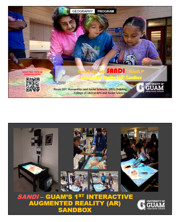
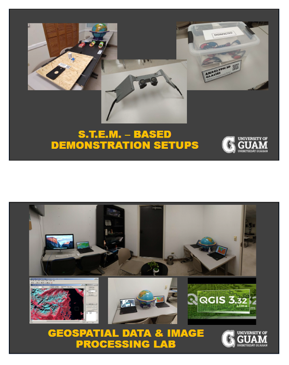
The Geographic Information Learning Laboratory (GILLs) hosts several teaching and learning facilities. The centerpiece of the Lab is SANDI - Guam’s First and only Augmented Reality (AR) Sandbox, used in teaching principles and concepts in Geography, particularly that of topography, watersheds, hydrology among others. Other highly-interactive and immersive STEM-based learning systems in the GILLs Lab include:
- 3D Holographic Display
- Augmented Reality (AR) Fishpond
- Real-time Global Earthquake Monitoring Display
- Real-time Global Weather Monitoring Display
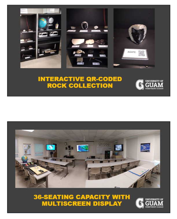
- Interactive Rock Collection with QR-Coded Information
- Tsunami Wave Simulation Model
- All-In-One Earthquake Table Simulator – simulates Subduction/Plate movement, Earthquake Waves, and Seismograph
- Sun-Earth-Moon System for simulating seasons
- Celestial Sphere
- Cloud-Maker and Adiabatic Heating and Cooling Setup
- Galileo Thermometer
- Astronomical Telescopes
- Global Positioning systems (GPS)
- Turn-Key Public Address (PA/Audio) System
- Live Window Projection Bulletin Board System (broadcasting upcoming events and courses offered by the Geography Program)
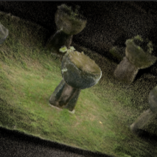
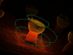
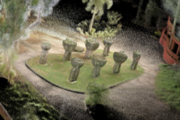
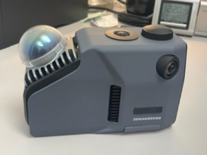
- Hand-held LiDAR Scanner
- Windows OS Desktop PCs
There are 22 Windows-based computer desktops installed with state-of the -art free and open source software (FOSS). These include Multispec developed by Purdue University for educational purposes; QGIS which is a geographic information system (GIS) software that supports viewing, editing, printing, and analysis of geospatial data in a range of data formats. QGIS supports Windows, macOS, and Linux.
On regular semesters, GIS, remote sensing (satellite image processing) and other Geography courses are being taught in the GILLs Lab. Short-term training courses are also being conducted in the GILLs Lab.
Research Areas
Due to the multifaceted applications and usefulness of GIS and remote sensing, the GILLs Laboratory has several collaborations in several disciplines and with various programs within the University.
Interdisciplinary research collaborations using GIS and satellite remote sensing principles and techniques include but are not limited to the following areas:
- Archaeological 3D image processing
- Environmental Change Monitoring
- Hazards Mapping
- Coastal and Resource Management