

IT | ArcGIS
ArcGIS
IT | ArcGIS


About ArcGIS Pro
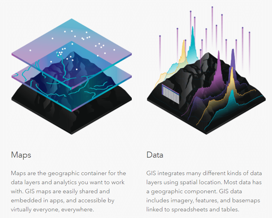
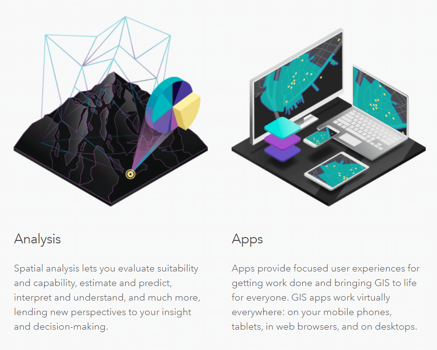
A framework to organize, communicate, and understand the science of our world. A geographic information system (GIS) is a framework for gathering, managing, and analyzing data. Rooted in the science of geography, GIS integrates many types of data. It analyzes spatial location and organizes layers of information into visualizations using maps and 3D scenes. With this unique capability, GIS reveals deeper insights into data, such as patterns, relationships, and situations—helping users make smarter decisions.
Hundreds of thousands of organizations in virtually every field are using GIS to make maps that communicate, perform analysis, share information, and solve complex problems around the world. This is changing the way the world works.
Extensions Available

COMPUTER LAB HOURS
Monday - Friday: 8AM - 7PM
Saturday: Closed
Sundays & Holidays: Closed
CONTACT OFFICE OF IT
Email: helpdesk@triton.uog.edu
Phone: 671-735-2630
Monday - Friday: 8AM - 10PM
Saturday, Sundays & Holidays: Closed
CONTACT NETWORK SUPPORT
Email: uognoc@triton.uog.edu
Phone: 671-969-2205
CONTACT MOODLE HELP
Phone: 671-735-2620/21
Email: moodlehelp@triton.uog.edu
Monday - Friday: 8AM - 5PM
Sundays & Holidays: Closed
![]()
![]()
![]()